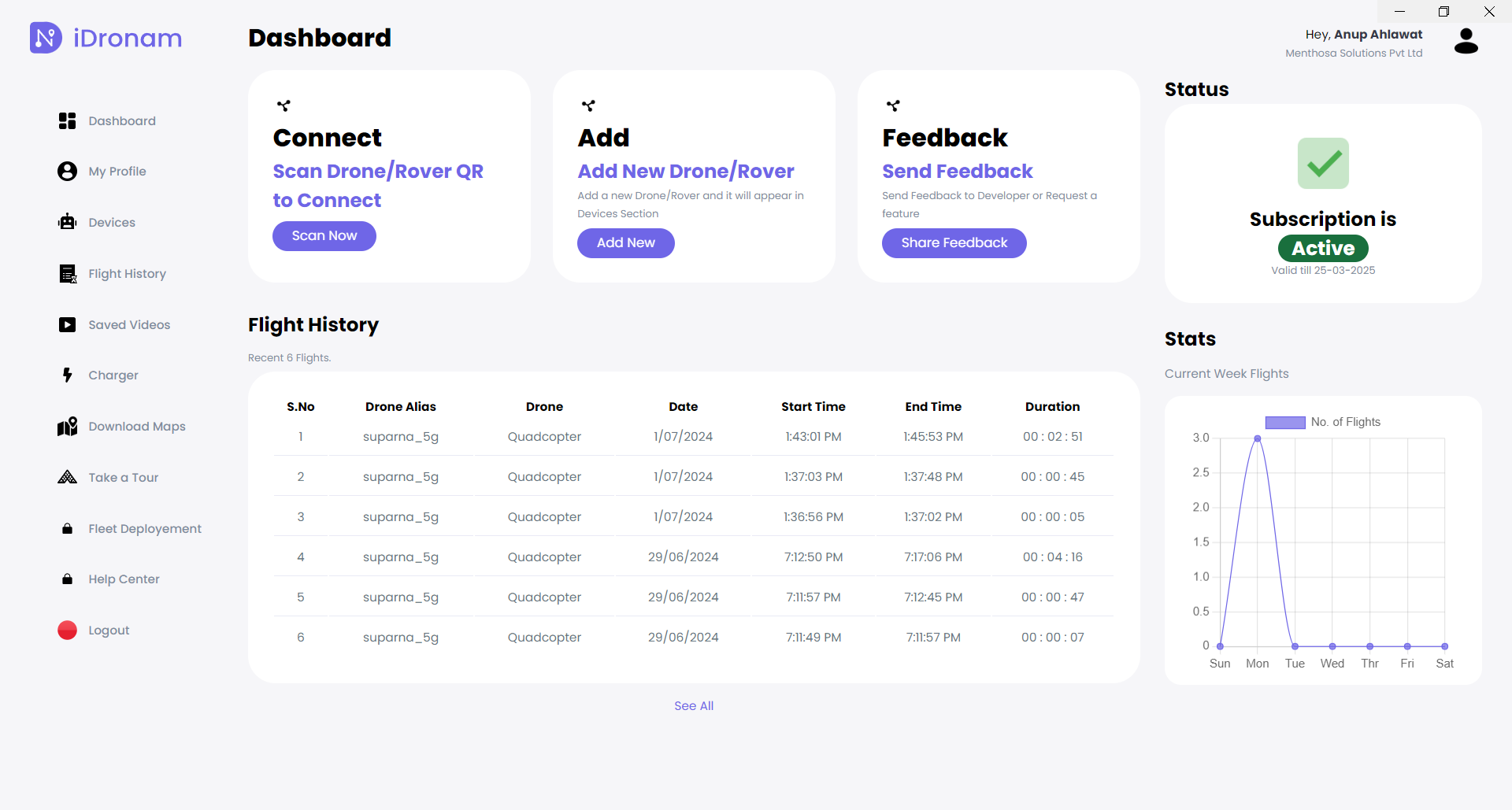
Centralized Dashboard
Easily manage drone operations and monitor real-time data from a single, streamlined interface.
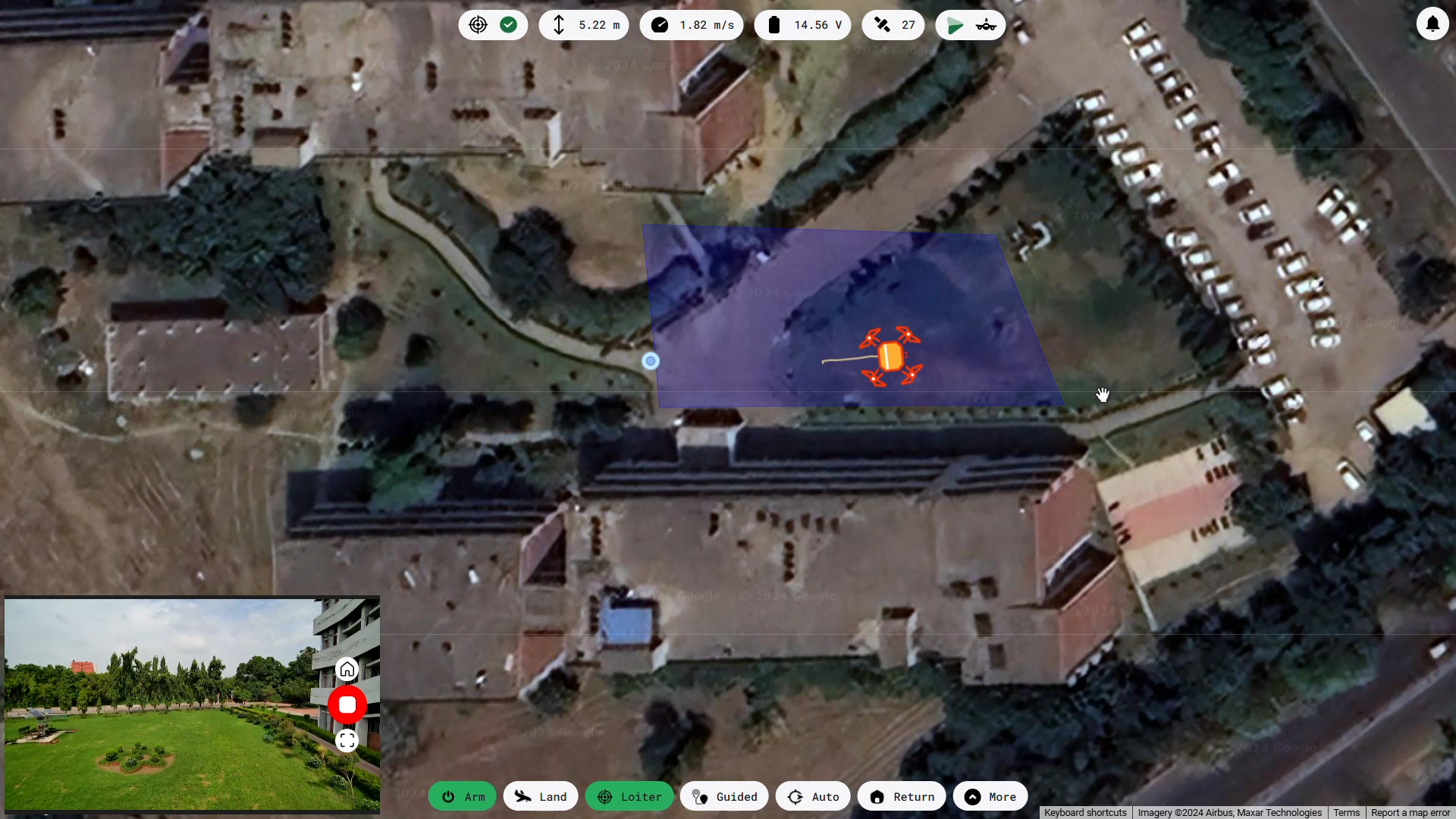
One to Many Controllability
Control multiple drones from one interface, improving efficiency and reducing response times.
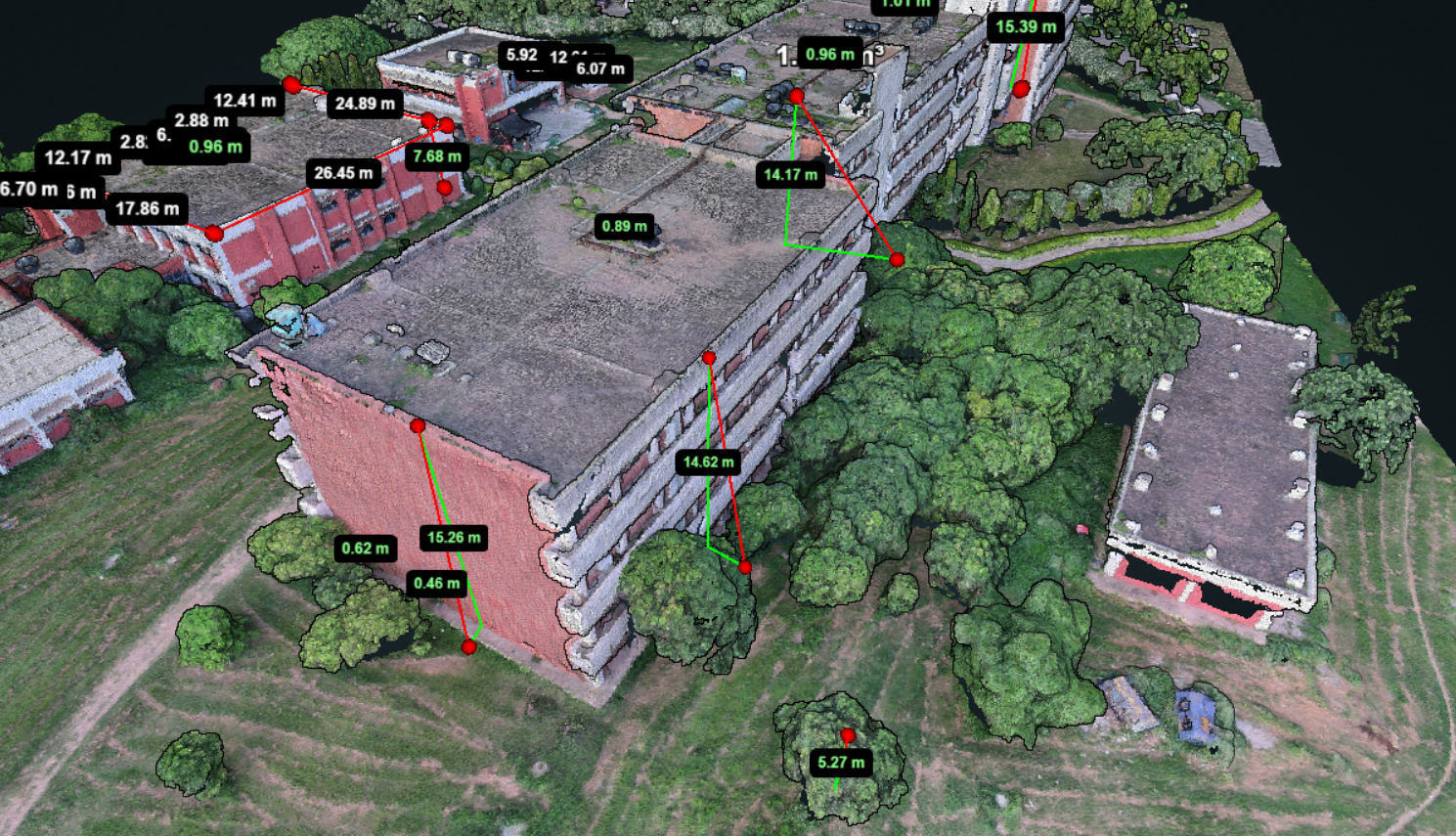
Accurate 3D Maps
Generate precise 3D maps for surveying and data analysis with advanced drone technology.
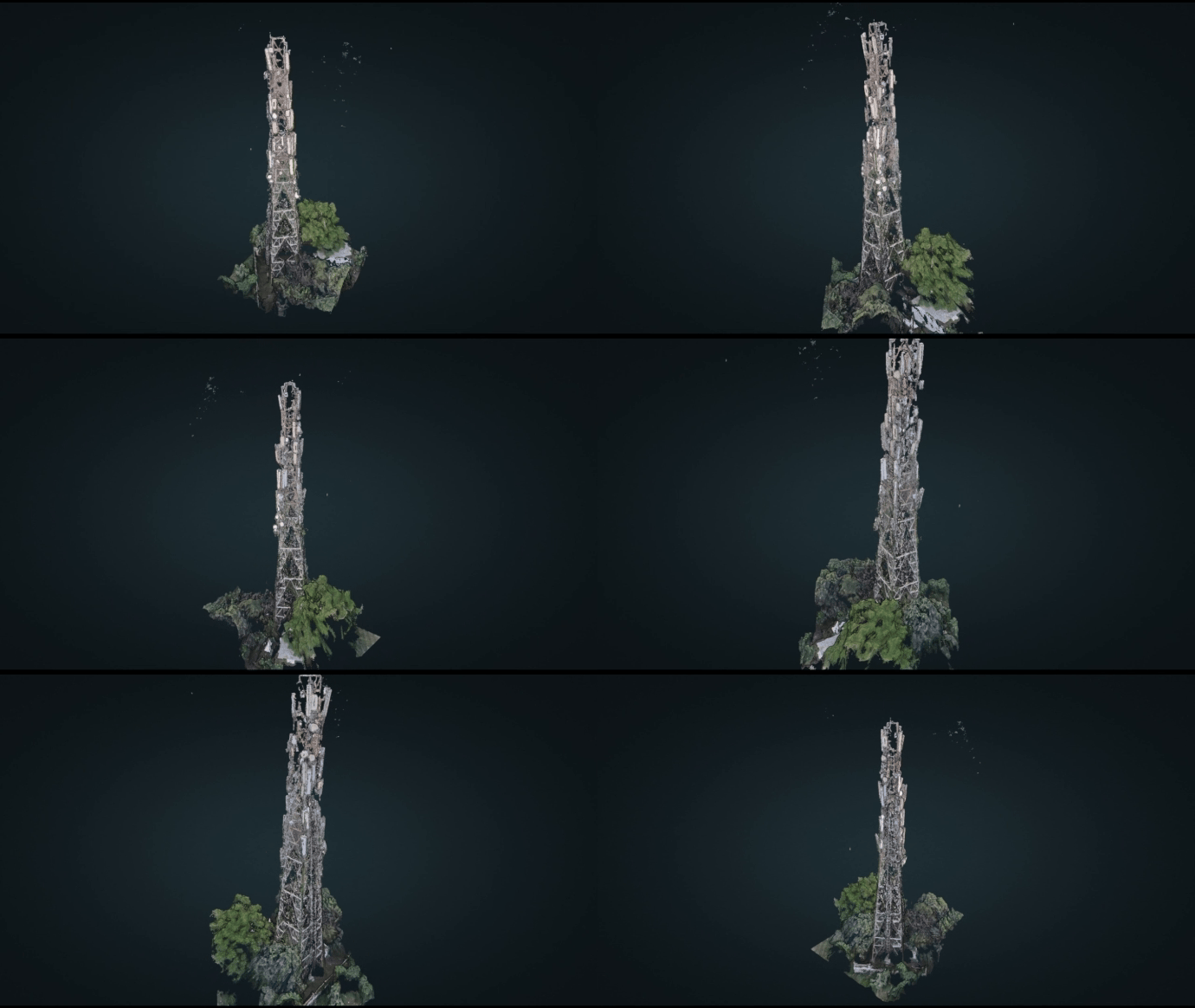
Cell Tower Inspection
Inspect cell towers like never before with accurate 3D model.
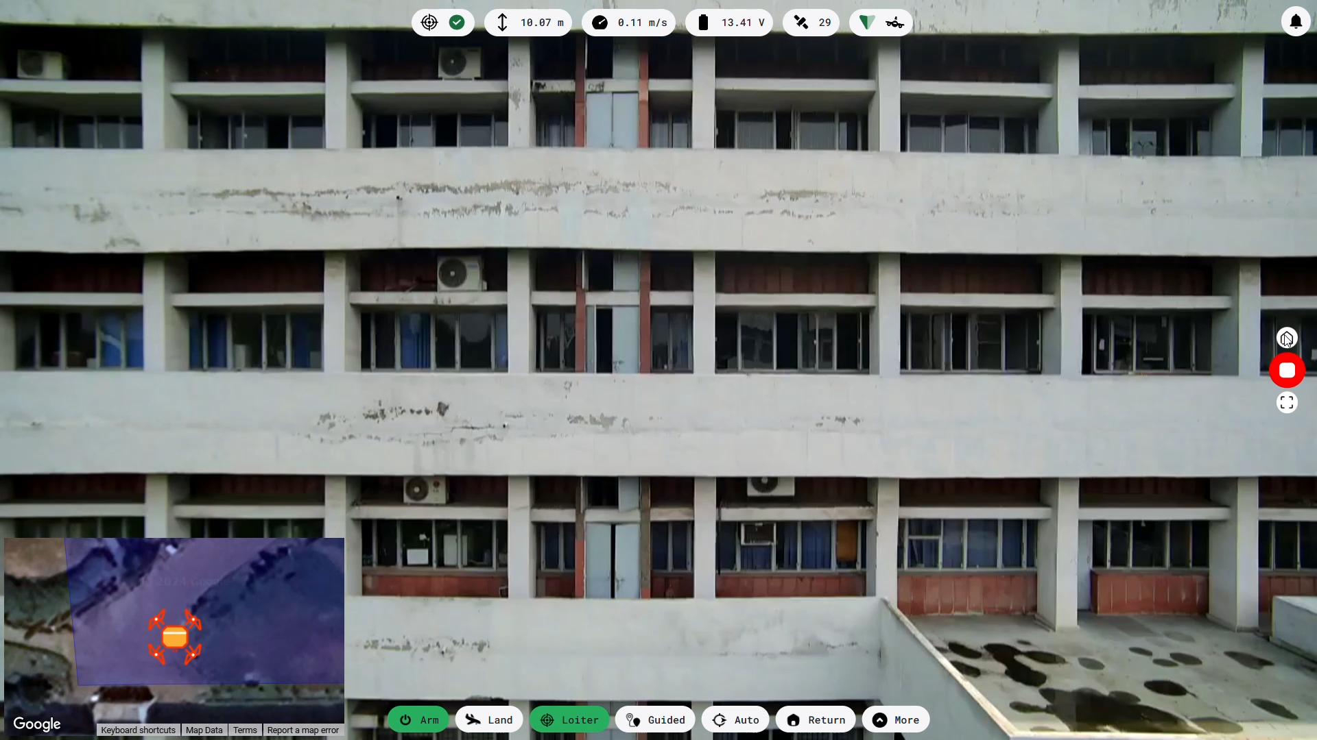
Remote Monitoring
Monitor vast areas remotely in real-time without needing personnel on-site.
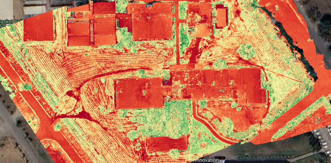
Crop Health Monitoring
Detect crop health issues early using aerial multispectral imaging for better yield management.

